

We did our own Route: When you Start at the Refugio there is a map where you can see all the Routes. We took a photo and that really helped to figuere out where to go!
Every number (in the little circles) locates a Signe, where to go and where you are - but it is much better with the map. So you can see which number you are. Sometimes there are no signs AT All and you can only know where to go with the map.
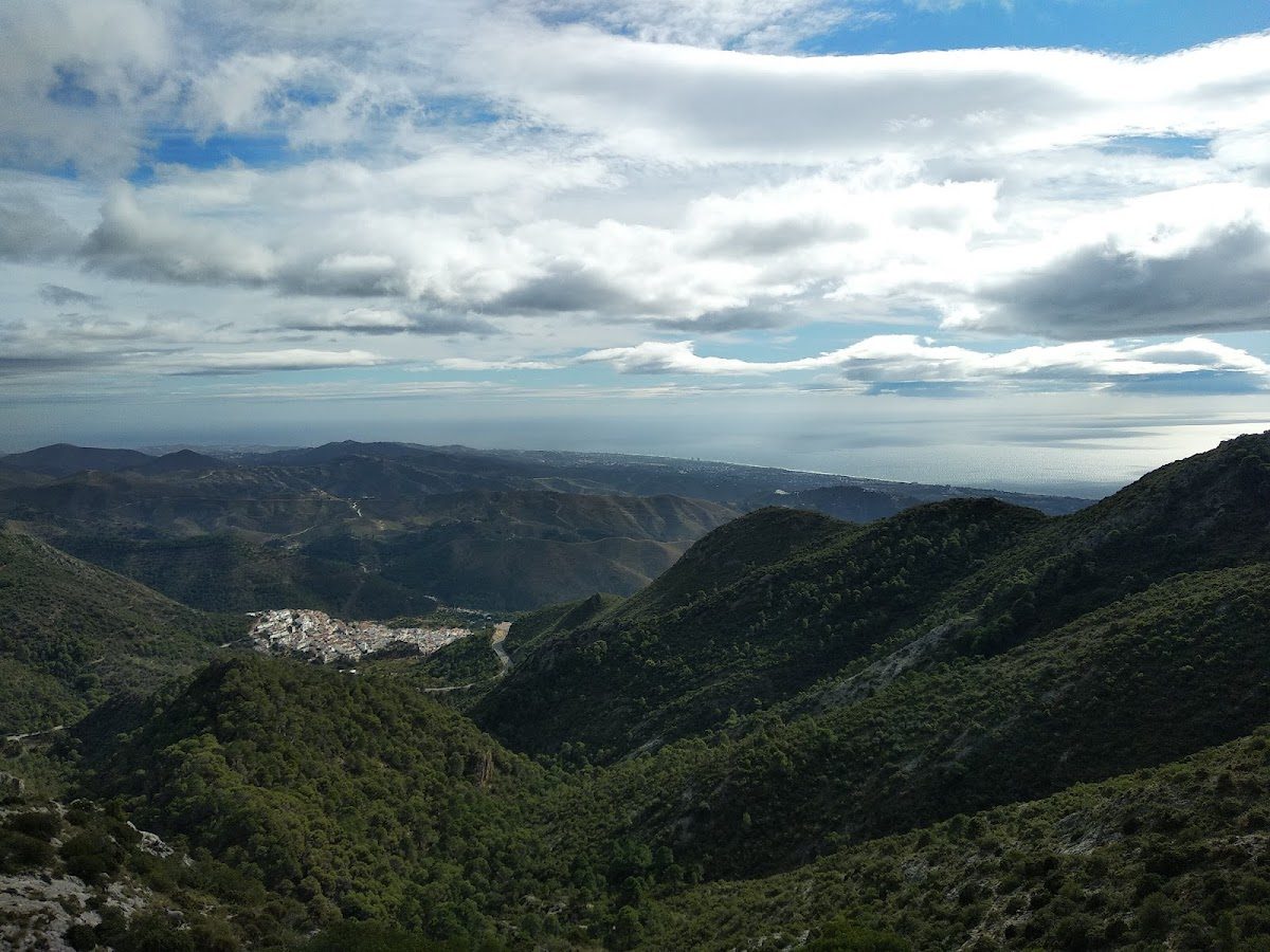
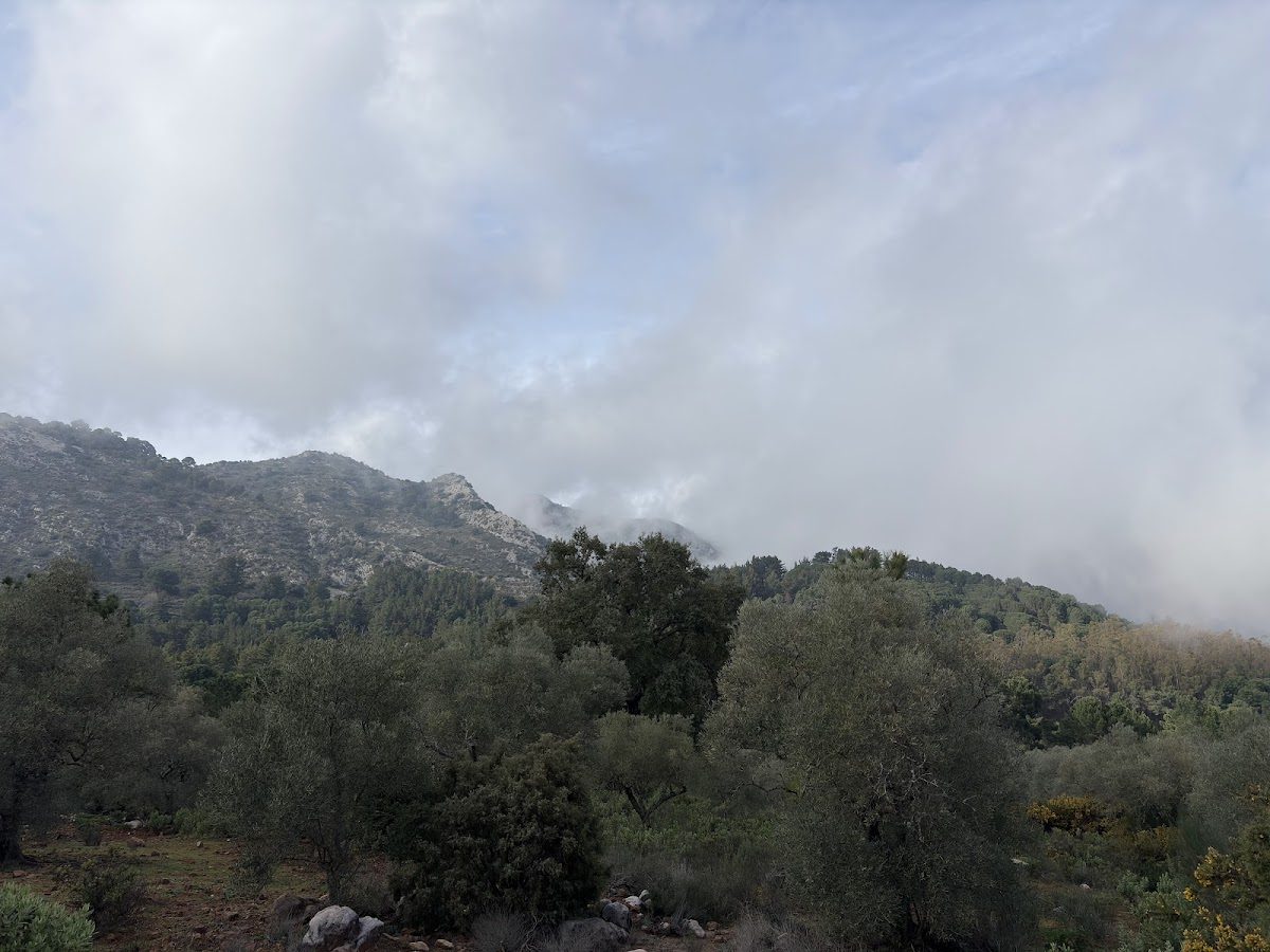
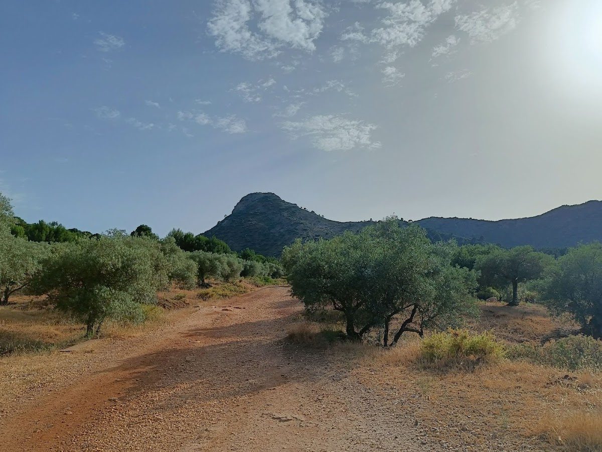
We did not go to the top, because it was rainy. But we did take a wonderful 3h route around that Mountain. Stunning views and a really easy and short way up.
Nature is sooooo beautiful there! Wonderful area for hiking.
- Category
- Outdoor & Adventure · outdoor-seating
- Location
- MA-5300 · 29610 Ojén
- Hours
Mon Open 24 hours Tue Open 24 hours Wed Open 24 hours Thu Open 24 hours Fri Open 24 hours Sat Open 24 hours Sun Open 24 hours - Rating
- 4.8/5 (292 Google reviews)
- Reviewers love
- stunning viewsbeautiful hiking trailsgreat for familiesamazing nature
- Good to know
- map recommended for navigationcafé not open
About this business
Sendero Cruz de Juanar is a scenic hiking trail located in Ojén, Málaga, offering breathtaking views and a chance to connect with nature. Ideal for outdoor enthusiasts, this trail provides a perfect escape into the beautiful Spanish landscape. Find directions and contact details below.
Recent Google reviews
292 total reviewsAmaZing views, incredible trees and forest, highly recommended if you like hiking.
Great hike with friends and family and meeting many families on the way
Wonderful scenery of Conchas and Marbella Port. Pity café isn't open. Other trails to take also.
Super nice jogging and hiking trail, beautiful views and
Reviews from Google · refreshed regularly
Tags
Write a Review
Is this your business?
Claim this listing free to edit photos, hours and contact details, reply to reviews, and receive customer enquiries.
Spot something wrong?
Help us keep this listing accurate. Is this your business? Claim it free. Where does this data come from?
Similar businesses nearby
See all

More nearby businesses

Explore more in Ojén
All businesses in Ojén
Browse by category:
Contact Information
Address:
MA-5300, 29610 Ojén, Málaga, Spain
MA-5300, 29610 Ojén, Málaga, Spain
Scan to open on your phone
Ad space
Want to advertise here?
Reach visitors actively looking for local Málaga businesses. Spots available from €0.
Get in touchOpening Hours
- Monday Open 24 hours
- Tuesday Open 24 hours
- Wednesday Open 24 hours
- Thursday Open 24 hours
- Friday Open 24 hours
- Saturday Open 24 hours
- Sunday Open 24 hours
Which way is it?
—
in a straight line from you
Turn your phone — the red tip points to the business
Walking directions
Location
Street View
Click and drag to look around
Loading Street View…